Faith, you seem stressed out. I suggest that you take a deep breath and focus on what your mission is here at EvC. It is not to carry on petty feuds and personal attacks. Let me try and straighten this topic out. We have too many topics wandering off of initial focus and into the petty feud territory.
Forum GuidelinesPlease stay on topic for a thread. Open a new thread for new topics.
Points should be supported with evidence and reasoned argumentation.
The sincerely held beliefs of other members deserve your respect. Please keep discussion civil. Argue the position, not the person.
Tanypteryx writes:
I want to post some photos of geological formations from the Southwest that I have taken on trips the last few years. I would like to discuss what is known about how the rocks formed and when, and what processes acted on them between then and now, and what processes exposed them so we can see them today.
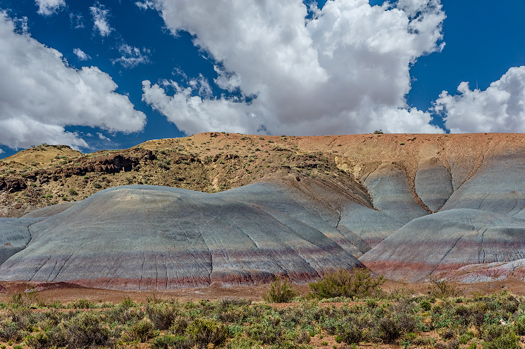
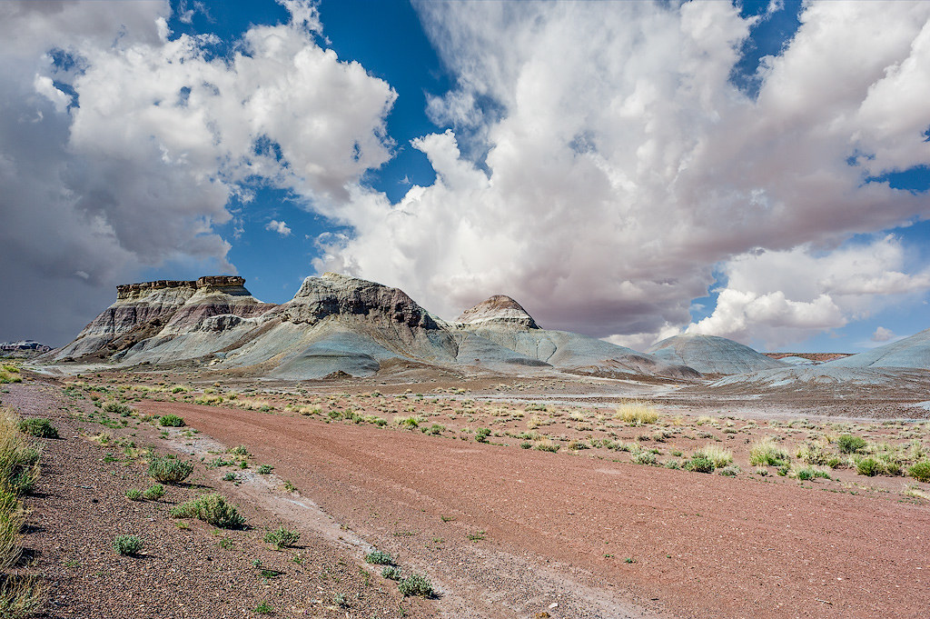
The formations in this photo are in north central Arizona along a stretch of Hwy 89, south of Navajo Bridge over the Colorado River and north of Cameron.
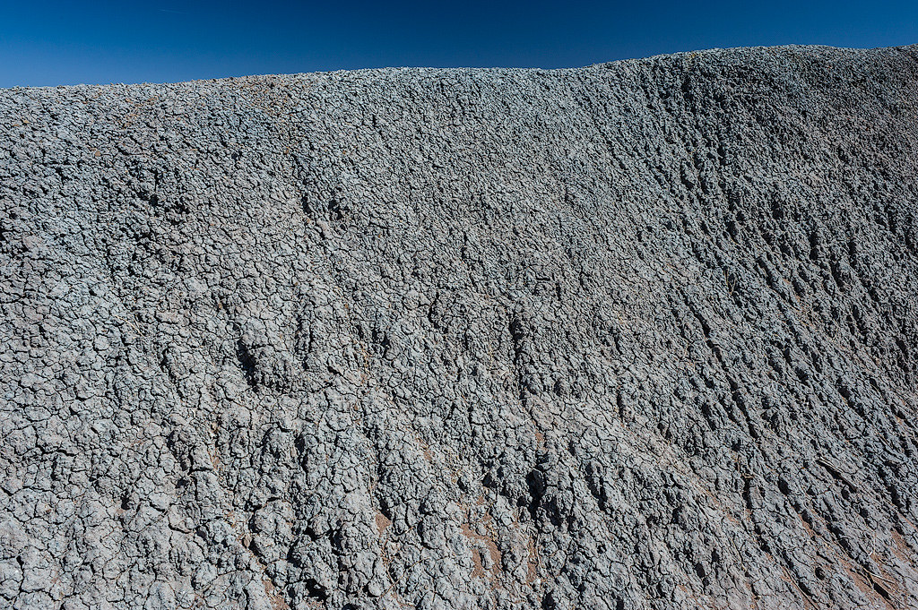
I think this valley may have had a number of layers volcanic ash-like material deposited that has been eroded leaving these short buttes that are composed of soft non-lithified material that almost looks like it is melting in the occasional summer rains.
(ABE: Looking in my
Roadside Geology of Arizona I see this is the Chinle formation and it is volcanic ash.)
We have similar looking formations in Oregon around the John Day Fossil Beds.
We have had discussions and debate about interpreting photos in several other threads about the flood where we went down a bunch of rabbit holes arguing about minutia of lines, or shadows, that didn't help the discussion progress. I would rather not repeat that. I don't want to spend a bunch of time talking about things that are not supported by the evidence found in the rocks. I want to find out what the evidence tells us.